2.4 KiB
2.4 KiB
-
Include a table of the data source name, types of GIS datasets, GIS file formats that can be downloaded, and URL.
Data Data Types Data Format Data URL FAA Classed Airspace Aeronautical Raster Chart Shapefile, GeoJSON, KML, CSV shortened link NOAA Weather Weather and Climate data ArcGIS Web shortened_link U.S. Forest Service Plant infestation polygons Shapefile, CSV, GeoJSON, KML shortened link U.S. Census Bureau County and Equivalent divisions Shapefile, TIGER/Line shapefile shortened link -
A brief description of your opinion of each data source in terms of how effective the source might be in fulfilling GIS data need. For example, is comprehensive metadata available? Is the source easy to use and understand? Is it easy to download the data?
- FAA Classed Airspace describes the various airspaces in the united states, according to geographical region and classes. The metadata is VERY comprehensive, and it's relatively easy to download. However, it is only easy to understand if you already understand the concept of airspace classes, and what the actual metadata means.
- NOAAA Weather and Climate data shows publicly available data about NOAA's weather systems. The metadata is reasonably comprehensive. Downloading is layer-by-layer, and the labels are somewhat abstract. Given that you understand enough to download the correct data, it is easy to understand.
- US Forest Service's plant infestation map defines information about invasive plants and species. The metadata is very easy to understand, the source is also easy to understand and use, and the download is very easy to find.
- The US Census Bureau county data is not particularly effective on its own, but owuld be an excellent backdrop for other data. There is little metadata available, but it is easy to download and equally easy to use.
-
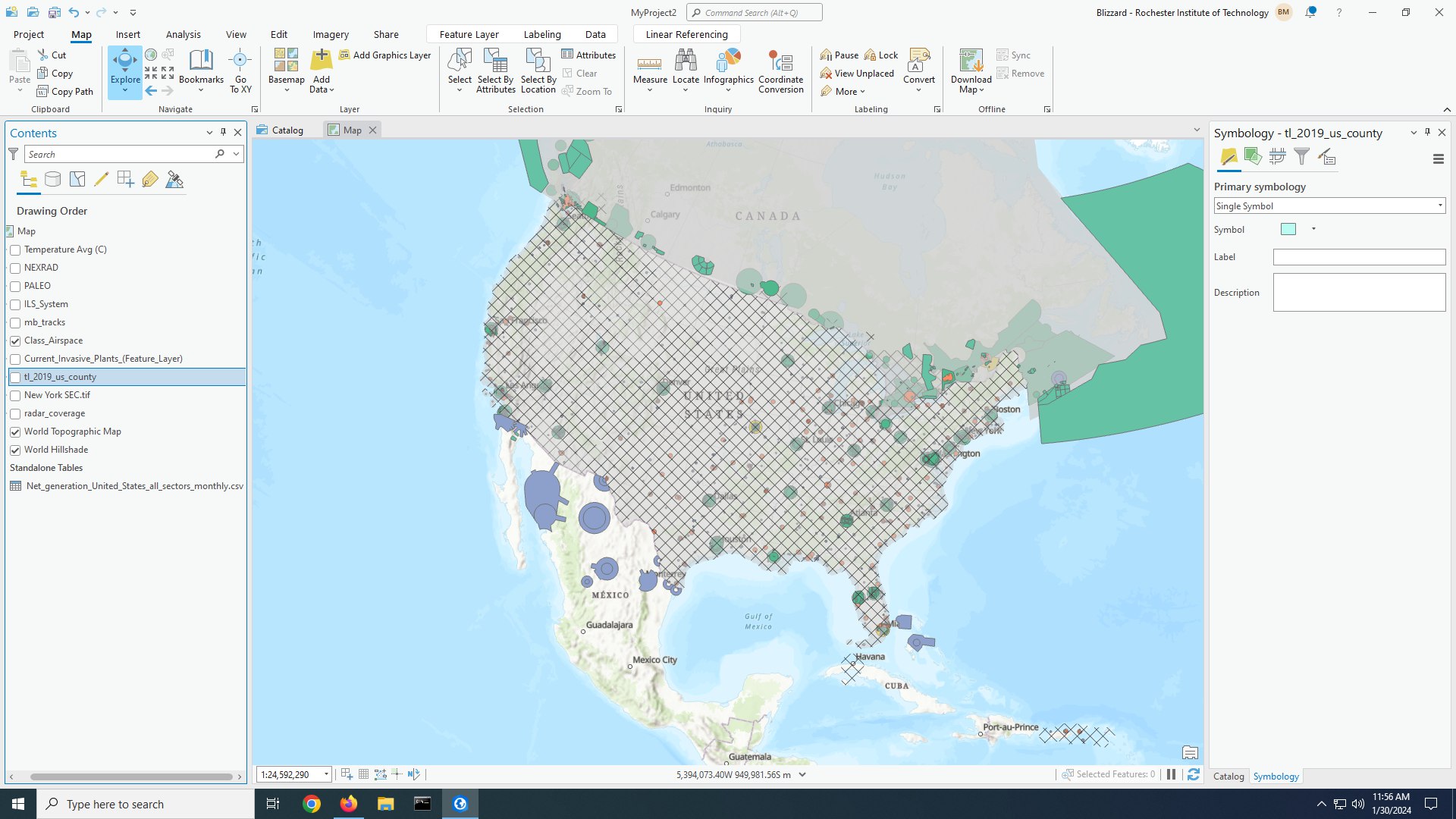
Load an example of the data into ArcGIS Pro and include a screenshot.